Citrus applications
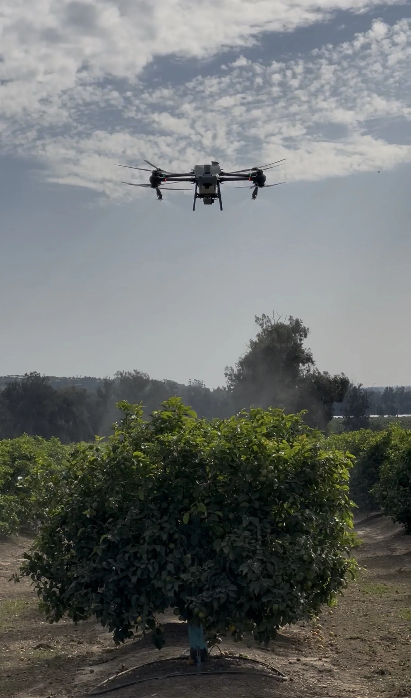
Crop protection and foliar applications planned around citrus canopy, row layout, terrain, weather, and nearby sensitive areas.

Our primary focus is professional aerial application. We plan each job around the crop, treatment objective, product label, PCA recommendation, terrain, access, and timing.
Orchard applications
Canopy density, elevation, row spacing, roads, residences, power lines, and irrigation infrastructure all shape an orchard application.
We collect those details before pricing or scheduling the work, then build the application plan around the label, recommendation, weather, and field conditions.
Crop environments
These are the environments we are equipped to evaluate. Final eligibility depends on the crop, product, recommendation, and site.
Crop protection and foliar applications planned around citrus canopy, row layout, terrain, weather, and nearby sensitive areas.
Application services for avocado orchards, including hillsides, variable terrain, irregular canopies, and limited access.
Aerial application for eligible row crops when the treatment plan and field conditions support drone use.
Service for hillsides, terraces, tight rows, soft ground, and blocks where conventional equipment has limited access.
Direct coordination with the growers, managers, PCAs, and pest control businesses responsible for the crop and treatment plan.
Treatment categories
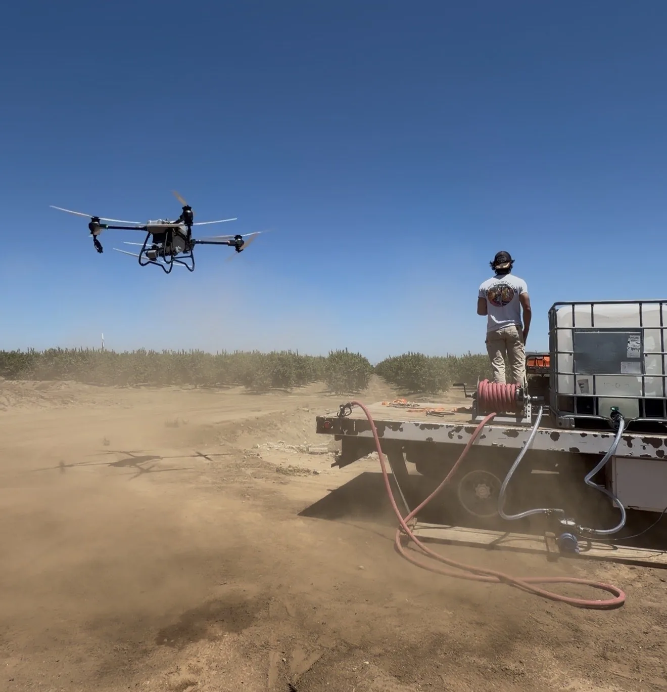
We consider the following treatment categories when the label, PCA recommendation, crop, and site allow drone application.
For eligible pest-control applications on approved crops and sites.
For label-approved disease management and crop protection programs.
Applied when the product directions and field conditions support aerial use.
Available when the label and recommendation allow the proposed application.
Planned carefully around the target area, label, recommendation, and nearby sensitive sites.
Before an application
We may need more information or a site visit before confirming eligibility, pricing, or scheduling.
Additional agricultural service
As a secondary service, aerial mapping provides a detailed view of field boundaries, crop patterns, and areas that may need a closer look from the ground.
NDVI, or Normalized Difference Vegetation Index, adds a vegetation-index view that helps compare patterns across the mapped area. We tailor the scope and deliverables to each project.
Mapping and NDVI are decision-support tools. They do not diagnose crop conditions or replace field scouting, laboratory analysis, or professional recommendations.
Have a block in mind?
Share what you know about the crop, treatment, location, and timing. We’ll follow up from there.