Orchard applications
Application services for citrus, avocado, and other orchard crops, planned around canopy, row spacing, terrain, and nearby features.
Explore orchard services
Ventura County, California
Professional agricultural drone application for orchards, row crops, difficult terrain, and time-sensitive crop protection throughout Ventura County.
Before accepting a job, we review the product label, site, operating requirements, and schedule.
Aerial application services
We begin by understanding the crop, treatment objective, terrain, access, timing, and PCA recommendation.
Application services for citrus, avocado, and other orchard crops, planned around canopy, row spacing, terrain, and nearby features.
Explore orchard servicesLabel-approved fungicides, insecticides, herbicides, biological products, and foliar nutrients when drone application is a good fit.
Explore row-crop servicesAerial access for hillsides, terraced blocks, tight rows, soft ground, and sites that are difficult for conventional equipment.
Explore terrain planningWhy growers consider drones
For the right crop and site, drones can provide a flexible alternative to ground equipment. The product label, recommendation, weather, and field conditions determine whether a job can proceed.
Apply without moving a heavy spray rig through the treated block.
Reach tight rows, hillsides, soft ground, and other challenging areas.
Respond to time-sensitive needs when weather and scheduling allow.
Work directly with growers, farm managers, pest control businesses, and PCAs.
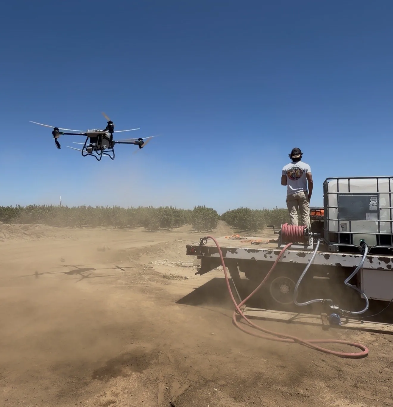
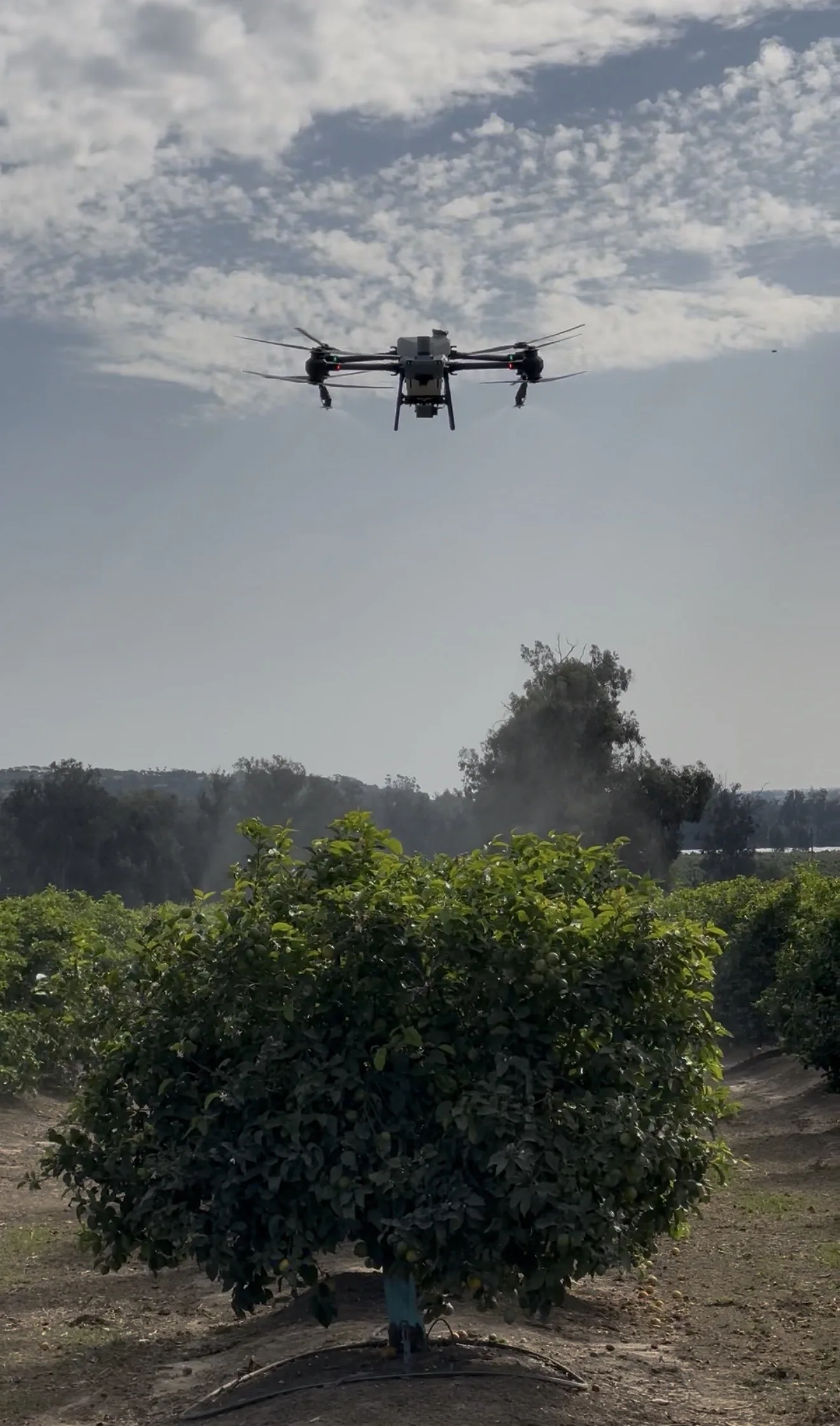
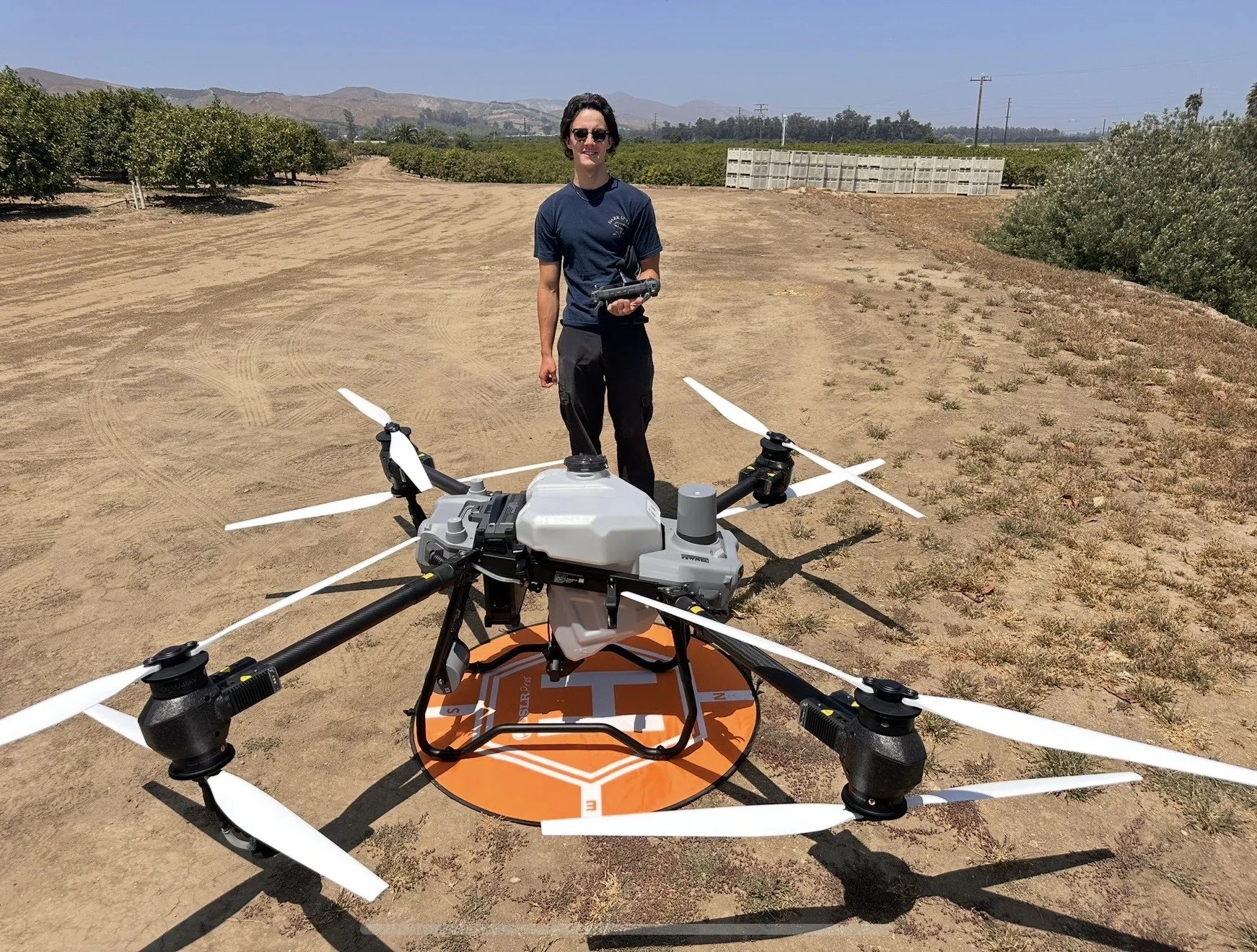
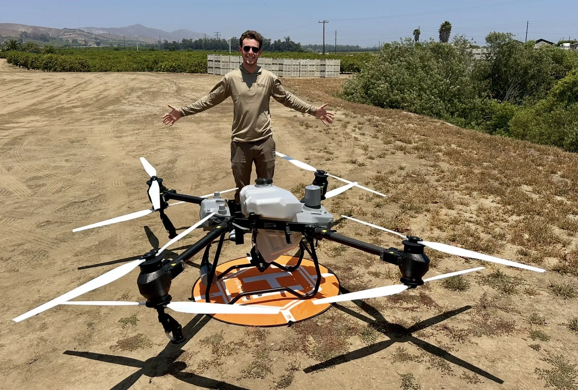
In the field
Our equipment and workflow are built for commercial fieldwork—not staged demonstrations.
Crops and environments
Every block is different. We coordinate with the grower, manager, PCA, or pest control business to build the right plan for the field.
Whether we can accept a job depends on the product label, PCA recommendation, weather, airspace, access, nearby sensitive sites, and operating requirements.
Our process
Share the crop, location, acreage, treatment objective, timing, and known site details.
We evaluate the recommendation, label, access, terrain, hazards, and operational fit.
We coordinate the block, staging area, weather window, application plan, and schedule.
We perform the accepted treatment according to the approved plan and requirements.
We document the application and flight details for operational records.
Agricultural drone field operations in Ventura County.
Local and owner-operated
As an owner-operated company, we work directly with growers, ranch managers, farm managers, PCAs, pest control companies, and other agricultural businesses.
We currently serve Ventura County. Expansion into additional California counties is planned as local registrations and requirements are completed.
Additional agricultural services
We also offer agricultural mapping and NDVI scanning for field visibility, planning, documentation, and follow-up.
Learn about mapping and NDVI servicesStart with a site review
We’ll review the details and contact you if we need more information.